Port Moresby (Port Moresby)
 |
As of the 2011 census, Port Moresby had 364,145 inhabitants. An unofficial 2020 estimate gives the population as 383,000. The place where the city was founded has been inhabited by the Motu-Koitabu people for centuries. The first Briton to see it was Royal Navy Captain John Moresby in 1873. It was named in honour of his father, Admiral of the Fleet Sir Fairfax Moresby.
Although Port Moresby is surrounded by Central Province, of which it is also the capital, it is not part of that province but forms the National Capital District. The traditional landowners, the Motu and Koitabu people, are represented by the Motu Koita Assembly.
Port Moresby hosted the APEC summit in November 2018. However, there were concerns about security given the capital's reputation for violent crime.
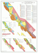
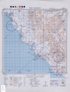
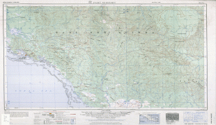
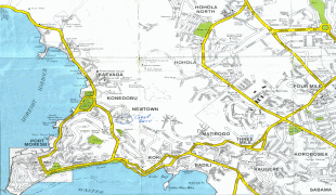
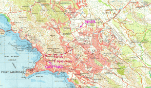
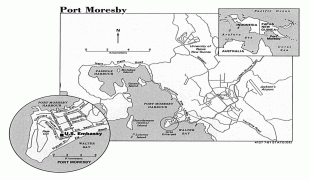
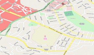
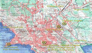
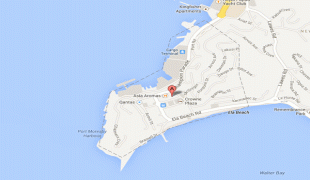
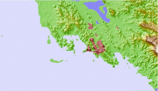
Map - Port Moresby (Port Moresby)
Map


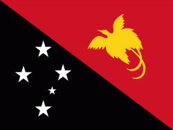
Country - Papua_New_Guinea
 |
 |
| Flag of Papua New Guinea | |
At the national level, after being ruled by three external powers since 1884, including nearly 60 years of Australian administration starting during World War I, Papua New Guinea established its sovereignty in 1975. It became an independent Commonwealth realm in 1975 with Elizabeth II as its queen. It also became a member of the Commonwealth of Nations in its own right.
Currency / Language
| ISO | Currency | Symbol | Significant figures |
|---|---|---|---|
| PGK | Papua New Guinean kina | K | 2 |
| ISO | Language |
|---|---|
| EN | English language |
| HO | Hiri Motu language |